The RestoreNet project, pits (center right) and connectivity modifiers (top), help capture seeds and litter which might increase plant growth.
ECOLOGICAL RESTORATION
Supporting life in the desert through restoration
The Sonoran Desert is a unique ecosystem, with incredible plant and animal diversity – but when the desert land is disturbed and degraded, it can’t support the same level of biodiversity. The desert can be negatively affected by human use, including off-trail travel, use of motorized vehicles, livestock grazing, and more. Over time, disturbed land becomes more and more degraded, and then it supports fewer plant species, which reduces wildlife habitat. Disturbances also take away an important feature of the land: biological soil crusts. These biocrusts are a living cover, or crust, on the ground surface that minimize dust and erosion while providing key benefits to the ecosystem.
The Parsons Field Institute makes ecological restoration a priority because it is critical to make sure we have a healthy desert ecosystem for future generations. We conduct research to understand where disturbed lands occur and what the best techniques are to restore them.
Our projects
Ecological restoration is difficult work in an arid environment like the Sonoran Desert. We work with land managers, like the City of Scottsdale, Maricopa County, the Tonto National Forest, among others to identify and restore degraded lands.
We have five projects focused on ecological restoration, from testing what seeds are most successful to cultivating biocrust, we are taking action on restoration in the Sonoran Desert.
Project 1: What worked in the past? Assessing old restoration efforts along closed roads
The McDowell Sonoran Preserve used to be state trust land and cars had access through a network of old roads that are now closed. We wanted to find out how effective restoration projects from more than five years ago were at restoring vegetation along these closed roads.
We selected eight old road sites where some combination of soil treatments, plant seeding, and cactus transplants had occurred. We then compared plant and soil cover in plots on the roads with nearby undisturbed lands. Learn what we discovered HERE.
Project 2: What works better? Plant growth using different seeding techniques
As a second step to Project 1, we conducted another experiment from 2016–2020 to test different seeding techniques along an old trail network in the McDowell Sonoran Preserve. We investigated when it is better to put out native seeds (before summer rains vs. before winter rains) and if breaking up the top layer of the ground (a process called “ripping,” which increases the ability of water to soak into the ground and allows plants to root easier). Our results have come in! We are currently in the process of publishing results and will share here soon!
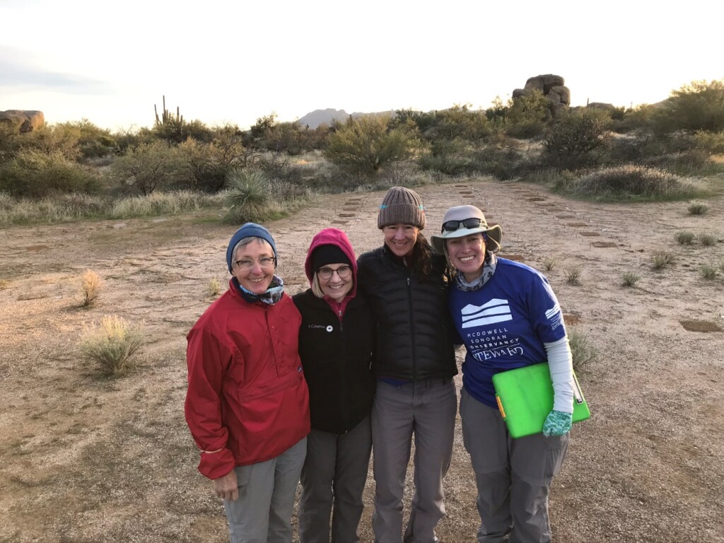
Project 3: RestoreNet
RestoreNet is a leading-edge experiment being conducted by a broad network of partners and is led by the US Geological Survey (USGS).
In 2018, we joined the network, working with USGS and the Central Arizona Conservation Alliance (CAZCA) to install four RestoreNet experimental sites at the McDowell Sonoran Preserve, Scottsdale Community College, Tonto National Forest, and Lake Pleasant Regional Park.
These locations represent the first Sonoran Desert sites in the network of field trial sites. RestoreNet also has experimental plots in the Mojave Desert, Chihuahua Desert and on the Colorado Plateau.
At each site, three treatments are being tested: pits dug in the ground (to collect moisture, litter and seeds), mulch (to retain moisture), and connectivity modifiers (upright “x” structures made of wire mesh to capture litter and seeds). Two seed mixtures of eight species each are also being evaluated.
Project 4: Biocrust cultivation
Biocrust is the living “skin” of the desert. Once it is trampled, it takes a long time to regrow on its own. In the meantime, we lose all of the critical benefits that biocrust provides, including erosion control.
We are part of an innovative research team looking to test new methods to restore biocrust more quickly. These new “farming” techniques include two stages.
In stage 1, we salvaged biocrusts from the Fraesfield, Granite Mountain and Pima Dynamite trailheads prior to construction of new facilities for cultivation. We tested different methods for growing crusts for reintroduction back into the field; these treatments included cultivating the crusts under different climate regiments in a controlled setting and direct transplant into the field.
 Stewards and Staff salvage biocrusts
In stage 2, we applied the cultivated biocrusts into field plots near the Granite Mountain trailhead to test how well phase I treatments establish in the field. You can learn more about this exciting project in this Arizona Republic article.
Project 5: Degraded lands mapping
Finding out where degraded land is located is the first step to making a restoration plan. However, it can be challenging for land managers to identify where these sites are within large areas of preserved land that are often too treacherous to survey by foot.
We are spearheading an innovative, citizen-science driven method to map where degraded land are located using remote satellite imagery. McDowell Sonoran Conservancy Stewards make this possible by volunteering their time to scan thousands of acres of land using Google Earth and other geographical software. Our technique is a low-cost way to survey land and prioritize restoration projects. So far we have surveyed over 67,000 acres across the City of Scottsdale’s McDowell Mountain Preserve and Maricopa County’s White Tank Mountain and McDowell Mountain Regional Parks.
DISCOVER MORE
Resources
Parsons May, 2021 Restoration Update (Video)
Parsons May, 2021 Degraded Lands Update (Video)
Annual Report (2020)
McDowell Sonoran Conservancy Contact
Mary Fastiggi | 480.998.7971 x 114 | mary@mcdowellsonoran.org
15300 North 90th Street, Suite 400, Scottsdale, Arizona, 85260 | 480.998.7971