SONORAN EDUCATION CENTER
Journey Through the Sonoran Desert with Us!
Core to the Conservancy’s mission, education plays a critical role in inspiring people to have a positive impact on the environment. Learning about the Sonoran Desert – including its flora, fauna, geology and history – enhances the enjoyment of visiting and reveals the significance of this living treasure.
The Conservancy offers a variety of in-person, online and virtual programs, designed to educate our community on the wonders of the Sonoran Desert and how each one of us can make a positive impact on the environment. Look below for programs structured for kids, adults, families and teachers, and begin your journey!
Teachers
Expedition Days is a fun interactive program aimed at inspiring 3rd and 4th grade students to become advocates for the Sonoran Desert. The program supports Arizona state curriculum standards-based, interactive learning both inside and outside the classroom.
Now in its 7th year, Expedition Days takes students on a journey of discovery as they explore our role in the conservation of the Sonoran Desert.
![]()
Welcome to Conservancy Kids, a weekly summer video newsletter that blends science with outdoor-based learning and exploration for elementary school kids and parents.
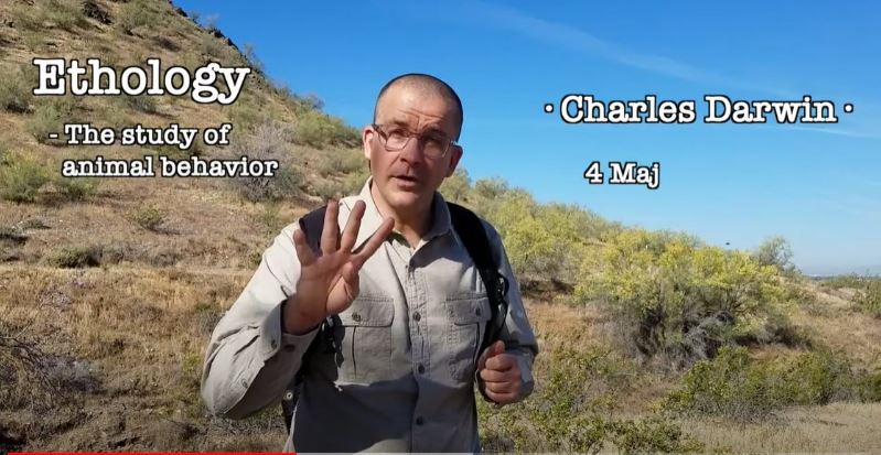
Animal Migration
Like humans, some animals travel during the year to follow nice weather--this is called "migration."
Scat
You can be a scientist of pretty much anything, including poop!
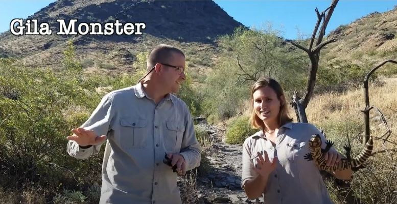
Gila Monster
Snakes, lizards, and tortoises are all reptiles that call the Sonoran Desert home. There are more than 11,000 species of reptiles in the world!
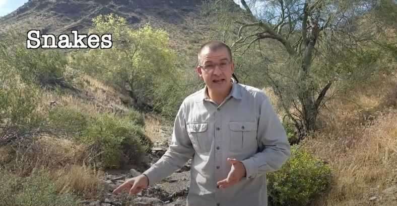
Snakes
Arizona is home to over 50 species of snakes and each is an important part of the ecosystem. Remember to be a scientist and use your senses of hearing and sight to safely share the trails with our slithery friends.
Adults
The McDowell Sonoran Conservancy offers opportunities for adults to expand their knowledge of the Preserve and Sonoran Desert, past and present.
Lectures
Free public lectures presented by subject matter expertsHover/Click to Learn More
Lectures
Our free public lectures provide in-depth information about various Sonoran Desert topics and are presented by seasoned content experts.
Educational Hikes
Make the Sonoran Desert your classroom with free educational hikes in the PreserveHover/Click to Learn More
Educational Hikes
Our educational hikes utilize the McDowell Sonoran Preserve as a classroom for the Sonoran Desert, covering topics such as human history, flora, fauna, and geology.
September-April
Family
The Conservancy provides opportunities for families to explore and learn together about natural, open spaces in the Sonoran Desert.
Sonoran Sunday
Scheduled trailhead presentations by our amazing external partners give families an up-close learning experience.Hover/Click to Learn More
Sonoran Sunday
Join the Conservancy for trailhead presentations by our partners covering Sonoran Desert topics including geology, birds of prey, Hohokam culture, and more.September-April
Trailside Naturalist Stations
Stop by the Gateway Trailhead on scheduled Saturday mornings to learn more about the Sonoran Desert with interactive tables.Hover/Click to Learn More
Trailside Stations
Conservancy Stewards and partners provide an opportunity for visitors of all ages to explore some of the remarkable plants and animals of the Sonoran Desert through interactive trailside stations.September-April
Expedition Days Live
Dive into the wonders of the Sonoran Desert though hands-on learning that will engage participants of all ages.Hover/Click to Learn More
Expedition Days Live
FOR FAMILIES
This Fall, bring the entire family to the McDowell Sonoran Preserve for a day of exciting, interactive learning about the Sonoran Desert ecosystem and your place in it.
This event will take place on Nov 5, 2022 at Lost Dog Wash Trailhead
For more information, contact Claire Musser, expeditiondays@mcdowellsonoran.org.